
According to Fortune Business Insights™, the global LiDAR drone market size was valued at USD 129.0 million in 2020 and is projected to grow from USD 143.0 million in 2021 to USD 455.0 million by 2028, exhibiting a CAGR of 17.98% during the forecast period.
North America dominated the market in 2020 with a 39.74% share, driven by strong adoption in infrastructure, forestry, and defense sectors. However, the COVID-19 pandemic caused a negative growth rate of -5.6% in 2020 compared to the average annual growth from 2017–2019, resulting in medium-scale disruption across key regions.
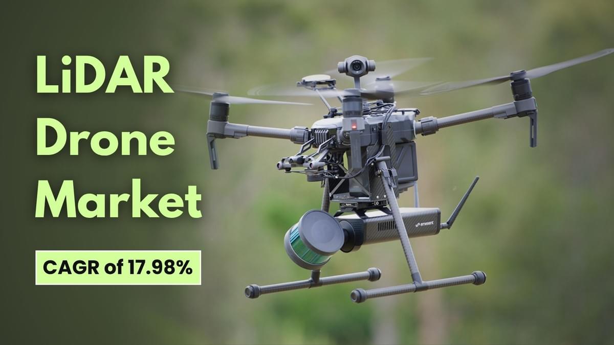
Market Overview
LiDAR drones—unmanned aerial vehicles (UAVs) equipped with Light Detection and Ranging (LiDAR) sensors—are increasingly preferred for 3D mapping, terrain modeling, object detection, and structural inspections. These systems offer faster data collection, higher accuracy, and lower operational costs compared to traditional surveying methods, making them a critical tool across industries including construction, forestry, archaeology, and precision agriculture.
Key Industry Players
Leading companies are investing in R&D, product innovation, and strategic collaborations to expand their global footprint. Major players include:
- Velodyne Lidar, Inc. (U.S.)
- Teledyne Optech Inc. (Canada)
- RIEGL Laser Measurement Systems GmbH (Austria)
- Leica Geosystems AG (Switzerland)
- Delair SAS (France)
- Phoenix LiDAR Systems (U.S.)
- YellowScan (France)
- LiDARUSA (U.S.)
- SZ DJI Technology Co., Ltd. (China)
- Benewake (China)
- RoboSense (China)
- Sick AG (Germany)
- Microdrones (Germany)
Information Source:
https://www.fortunebusinessinsights.com/lidar-drone-market-102602
Growth Factors
1. Rising Adoption of Cost-Effective 3D Image Mapping Systems
Advances in laser sensor technology and UAV design have expanded applications in construction, vegetation monitoring, forestry, archaeology, seismology, and precision farming. LiDAR mapping is now widely used for producing accurate georeferenced spatial data, improving precision and flexibility in surveying large-scale forest ecosystems and urban infrastructure.
2. Growing Usage in Corridor Mapping Applications
LiDAR drones are increasingly deployed for high-resolution 3D mapping of railways, highways, shoreline structures, bridges, and buildings, particularly in dense landscapes and mountainous terrains. The ability to capture high-density point clouds at low survey costs makes them valuable for infrastructure development projects worldwide.
Restraining Factors
Despite their benefits, LiDAR drones face challenges such as stringent aviation regulations, high acquisition and operational costs, and limited availability of skilled operators for long-range UAVs. Competing technologies like photogrammetry remain attractive due to lower costs.
Market Trends
Rising Development of Next-Generation UAV LiDAR Sensors
Manufacturers are focusing on lightweight, compact, and high-resolution LiDAR systems integrated with navigation and positioning technologies. Innovations include optical altimeter-based sensors and micro-electromechanical mirror-based laser scanners, which deliver unprecedented resolution and density, enhancing mapping accuracy for government, environmental, and industrial projects.
Segmentation Overview
By Product: The rotary-wing segment dominated the LiDAR drone market in 2020, accounting for the largest share due to its cost-effectiveness, ease of flight control, and superior maneuverability, which make it ideal for operations in complex terrains such as forests, mountains, and urban environments. Rotary-wing drones, including single-rotor and multirotor models, are highly effective for corridor mapping of railways, highways, and building sites, providing excellent control and stability for high-precision data collection. On the other hand, the fixed-wing segment is projected to record the highest growth rate over the forecast period, driven by its ability to cover longer distances with higher payload capacity and perform beyond line-of-sight (BLOS) operations, making it suitable for large-scale surveys, environmental studies, and industrial inspections.
By LiDAR Type: The solid-state segment is anticipated to expand at the fastest CAGR due to its compact silicon chip design, lightweight construction, lower manufacturing cost, and ability to deliver high-resolution results. These attributes make it an attractive choice for UAV manufacturers aiming to improve performance without adding bulk. Solid-state LiDAR’s durability and minimal moving parts also enhance operational reliability, particularly in challenging environments. Conversely, the mechanical segment held the largest market share in 2020, supported by its ability to perform 360° scanning for large-area data collection, which is highly valued in applications such as topographic mapping, mining surveys, and environmental monitoring.
By Range: The short-range segment accounted for the dominant market share in 2020, as it is widely used for low-altitude operations where high detail is required, such as infrastructure inspections, construction site mapping, and precision agriculture. These systems are more affordable and easier to deploy compared to long-range counterparts. The long-range segment, however, is expected to grow at the fastest rate due to advancements in high-accuracy laser technology that enable detection over extended distances, making it ideal for applications like corridor mapping, coastal surveys, and large-scale forestry analysis.
By Application: The mapping and cartography segment led the market in 2020, driven by rising demand for digital terrain models and 3D maps used in infrastructure planning, utility management, and agricultural land assessment. The segment’s growth is further supported by the technology’s ability to generate accurate geospatial data at lower costs compared to traditional methods. The others segment, encompassing surveillance, environmental monitoring, exploration, and precision agriculture, is also witnessing increased adoption. In surveillance and environmental studies, LiDAR drones help monitor forests, wildlife habitats, and disaster-prone areas, while in precision agriculture, they are used to analyze crop health, irrigation patterns, and soil conditions, improving farm productivity.
Regional Insights
- North America: USD 51.27 million in 2020; leadership supported by favorable regulations, technological advancements, and the presence of key players like Velodyne Lidar, Phoenix LiDAR Systems, and LiDARUSA.
- Europe: Second-largest market, driven by environmental monitoring and infrastructure development, with players such as Leica Geosystems, Delair, and YellowScan.
- Asia Pacific: Fastest-growing region, fueled by commercial drone manufacturing in China and India, and strong adoption in precision farming.
- Middle East & Africa: Moderate growth from increasing infrastructure investment.
- Rest of the World: Gradual growth supported by cost-effective surveying needs in Turkey and South Africa.
Recent Developments
- July 2021 – In Minas Gerais, Brazil, a distributor of Microdrones specializing in traditional topography, laser scanning, aero photogrammetry, drone LiDAR, georeferencing, and geospatial data was commissioned to carry out a high-precision survey in a mining complex containing three dams. The survey covered a total area of 10 square kilometers and was completed within a week to support the analysis of potential dam failure plans. This project highlighted the efficiency and accuracy of LiDAR drone technology in large-scale, time-sensitive industrial applications.
No responses yet